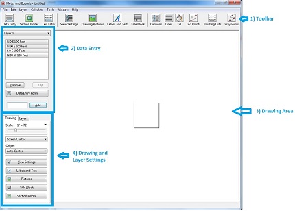
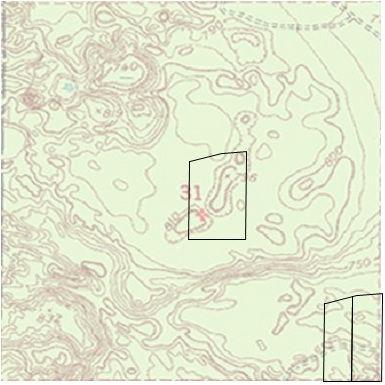
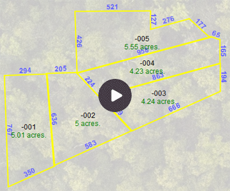
This tutorial will show you how to scale a
background image, like a section map, and how to place multiple
plots (layers) within the background picture.
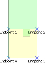
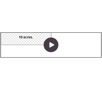
This tutorial will show you how to estimate
the area of two overlapping layers.In the process of finding
the area of the overlap, we will also create a new layer of the
overlap.
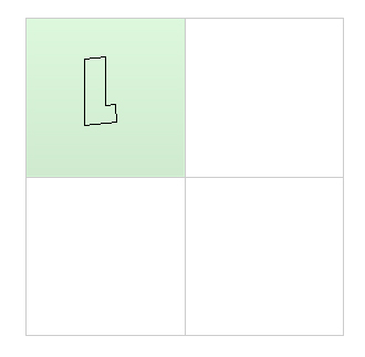
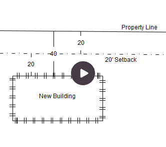
This tutorial will show you how to create a
drawing with multiple sections and how to position plots within
those sections. While tutorials #1 and #5 use background pictures to
represent section information, this tutorial uses layers to create
section information.
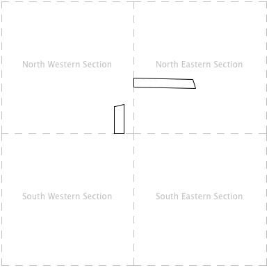
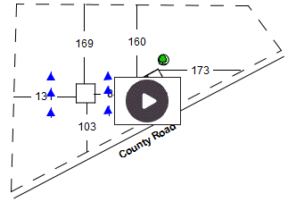
This tutorial shows how to use the Grid Layer with
Township/Range/Section information. It will draw two different plots
into two different sections using T/R/S information.